Cabrillo Westside
During this walk through the former Cabrillo Navy Housing Reservation witness its transformation into a mixed use community of housing, research park, open space, and school campuses.
Distance: 2.88 Miles | Difficulty: ●○○○
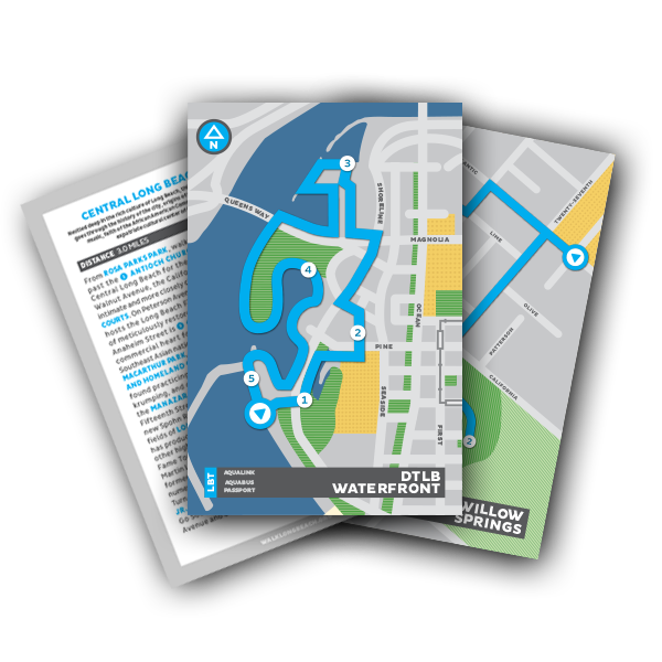
Begin this walk where the Cabrillo Navy Housing Reservation is most intact, at the ❶ CENTURY VILLAGES AT CABRILLO, a supportive housing environment for veterans and families. The community includes rehabilitated former navy housing as well as new buildings, all under a lush canopy of mature trees. After walking through the Village, enter the California State University Long Beach Technology Park south along Technology Way, then east. Continue through the last undeveloped portion of the old Navy housing to the ❷ LONG BEACH JOB CORP CAMPUS and WEST DIVISION POLICE HEADQUARTERS, which bears a striking resemblance to North Division’s in Scherer Park. Go north up Santa Fe Avenue, making a left at Willard Street around ❸ CABRILLO HIGH SCHOOL, which makes up the north half of the former military neighborhood. Traversing northeast through ❹ ADMIRAL KIDD PARK will pass the always active FREEMAN FAIRFIELD BOYS AND GIRLS CLUB and CONGRESSWOMAN JUNITA MILLENDER-MCDONALD COMMUNITY CENTER. Go east on Hill Street until reaching ❺JAMES GARFIELD ELEMENTARY SCHOOL, which consists of an eclectic mix of architecture including Mid-Century Modern classrooms toward the west end of campus and Spanish Revival style auditorium at the southeast corner. Weave back southwest through Long Beach’s LOWER WESTSIDE neighborhood, a collection of modest single-family homes and simple apartment buildings that largely served civilian shipyard workers’ families during and after the Second World War. Upon reaching Pacific Coast Highway, walk west until reentering the Tech Park and reaching the start of this walk through
Long Beach Navy history.
Download Cabrillo Westside Card Here.

